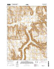
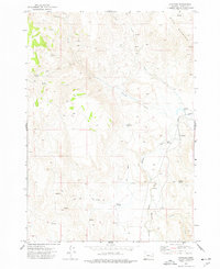
2017 Map of Venator
USGS Topo · Published 2017About this map
Venator sits at the northern end of this desert landscape, where the S Fork Malheur River winds through a network of dry draws and scattered water sources. This high-desert terrain is defined by its water management, evidenced by the numerous reservoirs and waterholes that support ranching in a territory often marked by seasonal flows. Features like Twin Reservoir, China Hill Reservoir, and the Floater Waterhole indicate a reliance on gathered water across the township divisions. The presence of Norman Ranch Rd and Crane-Venator Rd provides a look at the established ranching routes that connect this isolated part of Harney County. Prominent landmarks such as China Hill and the Saddle Draw break the horizon, while the deeply incised S Fork Malheur River serves as the primary geographic corridor through the quadrangle.
Find a feature on this map
25 named features on this map. Tap any name to fly to it.
Don’t see what you’re looking for? This feature index may not catch every label — zoom into the map to look around manually.
Map Details
Editions of this 2017 Venator Map
This is the sole edition of this map. No revisions or reprints were ever made.
Other maps of this area

1955 · Burns
USGS Topo · 1:250,000

1958 · Burns
USGS Topo · 1:250,000

1959 · Burns
USGS Topo · 1:250,000

1968 · Venator
USGS Topo · 1:62,500
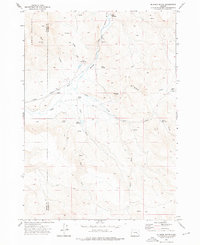
1972 · Mc Ewen Butte
USGS Topo · 1:24,000
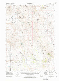
1972 · Stockade Mtn
USGS Topo · 1:62,500

1972 · Circle Bar
USGS Topo · 1:24,000
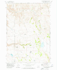
1972 · Venator Reservoir
USGS Topo · 1:24,000

1972 · Venator
USGS Topo · 1:24,000
1972 · Dunnean
USGS Topo · 1:24,000