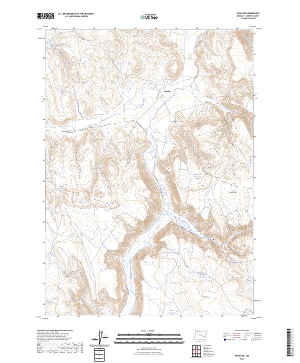
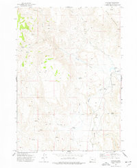
2023 Map of Venator
USGS Topo · Published 2023About this map
The South Fork Malheur River winds through this high desert region of Harney County, where the small settlement of Venator sits at the junction of Crane-Venator Rd and Norman Ranch Rd. The landscape is defined by the critical management of water in an arid environment, evidenced by a series of named catchments and reservoirs such as China Hill Reservoir, Twin Reservoir, and Mark Reservoir. To the south, remote landmarks like Top of the Hill Waterhole, Floater Waterhole, and Woodroad Waterhole illustrate the vital network of stock water sources necessary for ranching across the sagebrush steppe.
Find a feature on this map
23 named features on this map. Tap any name to fly to it.
Don’t see what you’re looking for? This feature index may not catch every label — zoom into the map to look around manually.
Map Details
Editions of this 2023 Venator Map
This is the sole edition of this map. No revisions or reprints were ever made.
Other maps of this area

1955 · Burns
USGS Topo · 1:250,000

1958 · Burns
USGS Topo · 1:250,000

1959 · Burns
USGS Topo · 1:250,000

1968 · Venator
USGS Topo · 1:62,500
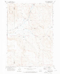
1972 · Mc Ewen Butte
USGS Topo · 1:24,000
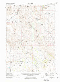
1972 · Stockade Mtn
USGS Topo · 1:62,500

1972 · Circle Bar
USGS Topo · 1:24,000
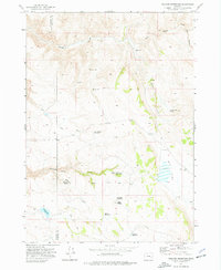
1972 · Venator Reservoir
USGS Topo · 1:24,000

1972 · Venator
USGS Topo · 1:24,000
1972 · Dunnean
USGS Topo · 1:24,000