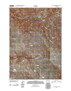
2011 Map of Venator Reservoir
USGS Topo · Published 2011About this map
Venator Reservoir and the surrounding high desert of Malheur County are defined by a sophisticated network of water management features essential for ranching. In this arid landscape, the distribution of water determines the footprint of human activity, as seen at the Swamp Creek Ranch along the banks of Swamp Creek. The map documents numerous critical water sources for livestock, including Newts Waterhole, Head of the Creek-Waterhole, and Lakebed Waterhole. These localized points, along with Dipping Vat Spring and Robinson Spring, reveal the historical reliance on specific perennial flows. The terrain is marked by significant natural depressions and rises like Big Flat and Hat Butte, while larger storage projects such as Jake Hughes Reservoir and Round Mountain Reservoir show the scale of water capture necessary for this region.
Find a feature on this map
21 named features on this map. Tap any name to fly to it.
Don’t see what you’re looking for? This feature index may not catch every label — zoom into the map to look around manually.
Map Details
Editions of this 2011 Venator Reservoir Map
This is the sole edition of this map. No revisions or reprints were ever made.
Other maps of this area

1955 · Burns
USGS Topo · 1:250,000

1958 · Burns
USGS Topo · 1:250,000

1959 · Burns
USGS Topo · 1:250,000

1968 · Venator
USGS Topo · 1:62,500
1972 · Mc Ewen Butte
USGS Topo · 1:24,000
1972 · Stockade Mtn
USGS Topo · 1:62,500
1972 · Venator Reservoir
USGS Topo · 1:24,000
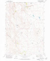
1972 · Hickey Basin
USGS Topo · 1:24,000

1972 · Venator
USGS Topo · 1:24,000
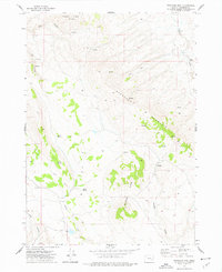
1972 · Stockade Mtn
USGS Topo · 1:24,000