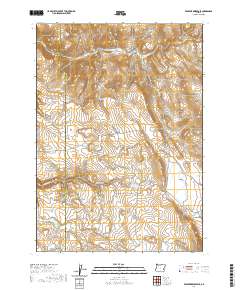
2020 Map of Venator Reservoir
USGS Topo · Published 2020About this map
Hat Butte stands as a prominent landmark in this high-desert landscape, situated along the county line where Harney and Malheur Counties meet. This 2020 survey illustrates a region defined by its water management for livestock and ranching, featuring numerous named sources such as Dog Spring, Dipping Vat Spring, and Robinson Spring. The terrain transitions from the open expanse of Big Flat to the confined corridors of Box Canyon and Long Canyon. Man-made water infrastructure is central to the area's utility, evidenced by the Jake Hughes Reservoir and several scattered collection points like the Newts Waterhole and Lakebed Waterhole. These features, connected by remote routes such as Whiskey Creek Rd, reveal the persistent reliance on ephemeral drainages like Swamp Cr and Deadman Cr in this arid part of Eastern Oregon.
Find a feature on this map
26 named features on this map. Tap any name to fly to it.
Don’t see what you’re looking for? This feature index may not catch every label — zoom into the map to look around manually.
Map Details
Editions of this 2020 Venator Reservoir Map
This is the sole edition of this map. No revisions or reprints were ever made.
Other maps of this area

1955 · Burns
USGS Topo · 1:250,000

1958 · Burns
USGS Topo · 1:250,000

1959 · Burns
USGS Topo · 1:250,000

1968 · Venator
USGS Topo · 1:62,500
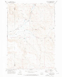
1972 · Mc Ewen Butte
USGS Topo · 1:24,000
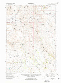
1972 · Stockade Mtn
USGS Topo · 1:62,500
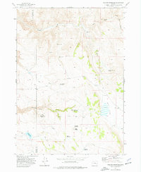
1972 · Venator Reservoir
USGS Topo · 1:24,000
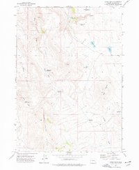
1972 · Hickey Basin
USGS Topo · 1:24,000

1972 · Venator
USGS Topo · 1:24,000
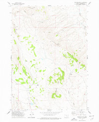
1972 · Stockade Mtn
USGS Topo · 1:24,000