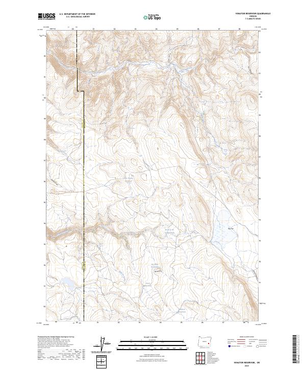
2023 Map of Venator Reservoir
USGS Topo · Published 2023About this map
Jake Hughes Reservoir and a network of named waterholes define this high-desert landscape along the boundary of Harney and Malheur Counties. The terrain is shaped by distinct drainage patterns, where Deadman Creek and Robinson Creek cut through the arid topography toward open areas like Big Flat. Ranching history is evident in the infrastructure for water management and livestock movement, such as the China Hill Stock Trail and numerous localized water sources including Newts Waterhole and Dipping Vat Spring. Elevated landmarks like Hat Butte provide vantage points over the surrounding draws and canyons. This modern survey documents a sparsely populated region where survival and industry remain closely tied to the seasonal availability of water at sites like Lakebed Waterhole.
Find a feature on this map
27 named features on this map. Tap any name to fly to it.
Don’t see what you’re looking for? This feature index may not catch every label — zoom into the map to look around manually.
Map Details
Editions of this 2023 Venator Reservoir Map
This is the sole edition of this map. No revisions or reprints were ever made.
Other maps of this area

1955 · Burns
USGS Topo · 1:250,000

1958 · Burns
USGS Topo · 1:250,000

1959 · Burns
USGS Topo · 1:250,000

1968 · Venator
USGS Topo · 1:62,500
1972 · Mc Ewen Butte
USGS Topo · 1:24,000
1972 · Stockade Mtn
USGS Topo · 1:62,500
1972 · Venator Reservoir
USGS Topo · 1:24,000
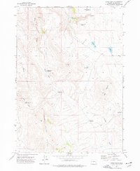
1972 · Hickey Basin
USGS Topo · 1:24,000

1972 · Venator
USGS Topo · 1:24,000
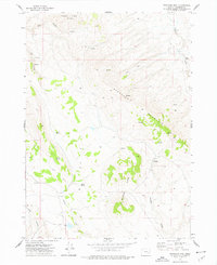
1972 · Stockade Mtn
USGS Topo · 1:24,000