2024 Map of Veneta
USGS Topo · Published 2024About this map
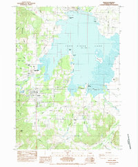
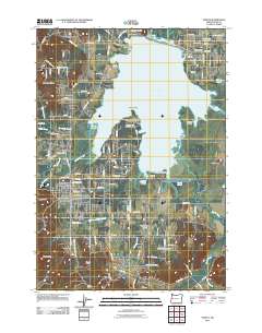
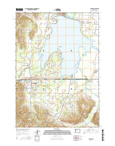
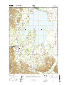
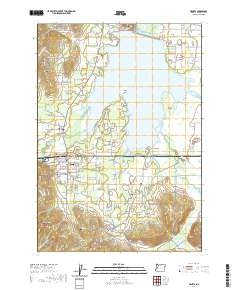
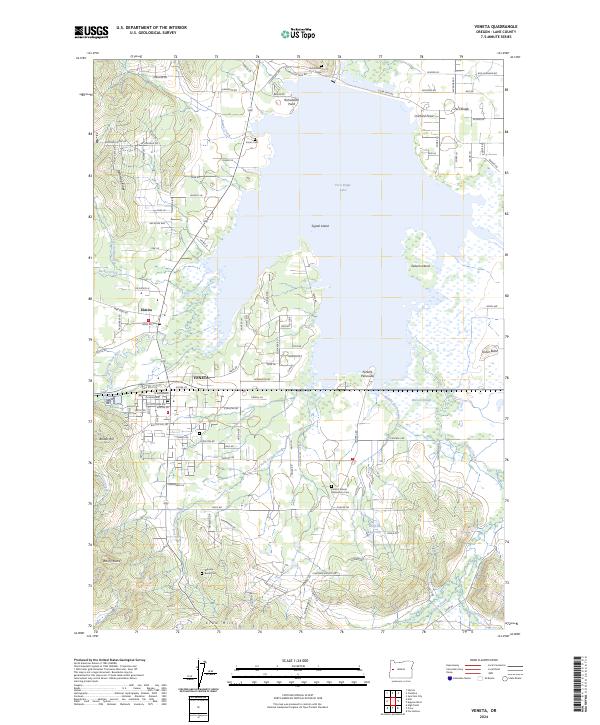
Veneta and Elmira anchor this Lane County landscape, where the waters of Fern Ridge Lake dominate the northern terrain. This extensive reservoir is defined by prominent geographical features like Perkins Peninsula, Richardson Point, and Signal Island, while the Long Tom River feeds into the system from the west. The map captures a sophisticated network of small-scale agriculture and rural settlement, evidenced by the numerous cemeteries including Inman Cem, Richardson Cem, and the Mounse Burial Cem south of town. The southern portion of the quadrangle rises toward Crow Hill and Rocky Butte, where the drainages of West Fork Coyote Creek and Job Swale Creek carve through the foothills. This modern survey provides a detailed view of the regional transition between the valley floor and the surrounding ridges, mapping the contemporary infrastructure and water management systems that define life near the southern end of the Willamette Valley.
Find a feature on this map
115 named features on this map. Tap any name to fly to it.
Don’t see what you’re looking for? This feature index may not catch every label — zoom into the map to look around manually.
Map Details
Editions of this 2024 Veneta Map
This is the sole edition of this map. No revisions or reprints were ever made.
Historical Maps of Veneta Through Time
6 maps found