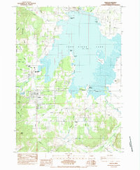
1984 Map of Veneta
USGS Topo · Published 1984About this map
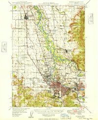
Fern Ridge Lake dominates this portion of Lane County, defining the geography between the hills and the valley floor. The massive reservoir is framed by key public access points and landmarks like Richardson Point, Orchard Point, and Signal Island. The landscape reflects a mix of recreation and rural settlement, where the Southern Pacific tracks bisect the community of Veneta as it transitions from a rail-oriented town to a central hub for the surrounding countryside.
Find a feature on this map
63 named features on this map. Tap any name to fly to it.
Don’t see what you’re looking for? This feature index may not catch every label — zoom into the map to look around manually.
Map Details
Editions of this 1984 Veneta Map
This is the sole edition of this map. No revisions or reprints were ever made.
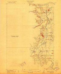
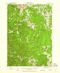
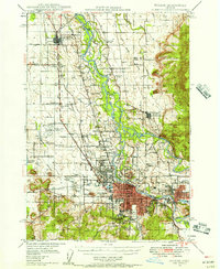
Other maps of this area

1909 · Elmira
USGS Topo · 1:62,500

1910 · Eugene
USGS Topo · 1:62,500

1921 · Cottage Grove
USGS Topo · 1:62,500
1922 · Elmira
USGS Topo · 1:62,500

1940 · Eugene
USGS Topo · 1:62,500

1942 · Elmira
USGS Topo · 1:62,500
1942 · Crow
USGS Topo · 1:62,500

1945 · Crow
USGS Topo · 1:62,500
1946 · Eugene
USGS Topo · 1:62,500
1949 · Eugene
USGS Topo · 1:62,500