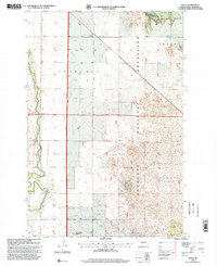
1998 Map of Venlo
USGS Topo · Published 2000About this map
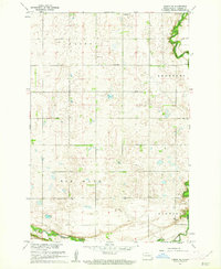
The Sheyenne River winds through the western edge of this Ransom County landscape, defining the transition between cultivated farmland and the expansive Sheyenne National Grassland. The small settlement of Venlo sits near the northern boundary, while historical townships like Shenford, Owego, and Scoville organize the surrounding plains. The terrain is marked by distinctive hydrological features, including several Flowing Wells and a Flowing Well in the south, suggesting a high water table and specific agricultural needs for the era. In the northeast, the river valley widens near Pigeon Point, providing a sharp contrast to the flatter sections of the prairie. Local infrastructure is evidenced by Heaton Bridge and various Gravel Pits, which supported the road network connecting these rural communities during the late twentieth century.
Find a feature on this map
13 named features on this map. Tap any name to fly to it.
Don’t see what you’re looking for? This feature index may not catch every label — zoom into the map to look around manually.
Map Details
Editions of this 1998 Venlo Map
This is the sole edition of this map. No revisions or reprints were ever made.
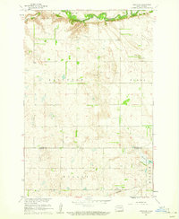
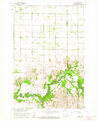
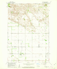
Other maps of this area

1895 · Casselton
USGS Topo · 1:125,000

1897 · Tower
USGS Topo · 1:125,000

1897 · Casselton
USGS Topo · 1:125,000

1907 · Wyndmere
USGS Topo · 1:125,000

1953 · Fargo
USGS Topo · 1:250,000

1956 · Fargo
USGS Topo · 1:250,000
1960 · Lisbon SE
USGS Topo · 1:24,000
1960 · Coburn
USGS Topo · 1:24,000
1960 · De Lamere
USGS Topo · 1:24,000
1960 · Lisbon NE
USGS Topo · 1:24,000
Featured Places
- Sandoun Township, ND
- Venlo, Shenford Township
- Shenford Township, ND
- Scoville Township, ND
- Owego Township, ND