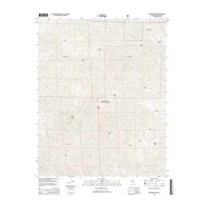
2015 Map of Ventana Cones
USGS Topo · Published 2015About this map
The Santa Lucia Range dominates this portion of the Los Padres National Forest, where steep ridgelines and deep canyons define the Central Coast wilderness. The topography is anchored by the prominent peaks of Ventana Double Cone, Ventana Cone, and South Ventana Cone, which overlook a complex drainage system. This area serves as a critical headwater region, where the Carmel River and its tributary, the Miller Fork Carmel River, flow northward while the Little Sur River and the Big Sur River carve westward paths toward the Pacific.
Find a feature on this map
42 named features on this map. Tap any name to fly to it.
Don’t see what you’re looking for? This feature index may not catch every label — zoom into the map to look around manually.
Map Details
Editions of this 2015 Ventana Cones Map
This is the sole edition of this map. No revisions or reprints were ever made.
Other maps of this area

1918 · Point Sur
USGS Topo · 1:62,500

1920 · Jamesburg
USGS Topo · 1:48,000

1921 · Jamesburg
USGS Topo · 1:62,500

1921 · Lucia
USGS Topo · 1:62,500

1925 · Point Sur
USGS Topo · 1:62,500

1939 · Jamesburg
USGS Topo · 1:62,500

1940 · Jamesburg
USGS Topo · 1:62,500

1941 · Lucia
USGS Topo · 1:62,500

1947 · Lucia
USGS Topo · 1:62,500

1947 · Jamesburg
USGS Topo · 1:62,500