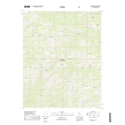
2018 Map of Ventana Cones
USGS Topo · Published 2018About this map
Ventana Double Cone and Ventana Cone anchor this high-elevation segment of the Santa Lucia Range, part of the expansive Los Padres National Forest. The landscape is defined by its dramatic verticality, where peaks such as Elephant Mtn and Uncle Sam Mtn overlook a complex network of steep drainage basins. To the northeast, Miller Canyon guides the Miller-Fork Carmel River toward its confluence with the Carmel River, while the southern reaches are marked by the headwaters of the Big Sur River and the isolated Bear Basin. Notable ridges such as Hennicksons Ridge and Pine Ridge suggest the topographic barriers that have historically dictated movement through this interior wilderness. The concentration of springs like Sulphur Spring and several seasonal creeks reflects a rugged hydrology central to the regional ecosystem.
Find a feature on this map
63 named features on this map. Tap any name to fly to it.
Don’t see what you’re looking for? This feature index may not catch every label — zoom into the map to look around manually.
Map Details
Editions of this 2018 Ventana Cones Map
This is the sole edition of this map. No revisions or reprints were ever made.
Other maps of this area

1918 · Point Sur
USGS Topo · 1:62,500

1920 · Jamesburg
USGS Topo · 1:48,000

1921 · Jamesburg
USGS Topo · 1:62,500

1921 · Lucia
USGS Topo · 1:62,500

1925 · Point Sur
USGS Topo · 1:62,500

1939 · Jamesburg
USGS Topo · 1:62,500

1940 · Jamesburg
USGS Topo · 1:62,500

1941 · Lucia
USGS Topo · 1:62,500

1947 · Lucia
USGS Topo · 1:62,500

1947 · Jamesburg
USGS Topo · 1:62,500