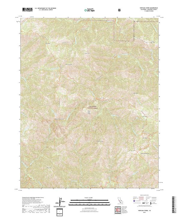
2021 Map of Ventana Cones
USGS Topo · Published 2021About this map
The high ridges of the Santa Lucia Range dominate this coastal interior landscape within the Los Padres National Forest. The area is defined by a series of prominent peaks and deep drainage basins, anchored by the Ventana Double Cone and the namesake Ventana Cone. These summits overlook a complex hydrological network where the Carmel River flows through Hiding Canyon and the South Fork Little Sur River carves through the western slopes.
Find a feature on this map
48 named features on this map. Tap any name to fly to it.
Don’t see what you’re looking for? This feature index may not catch every label — zoom into the map to look around manually.
Map Details
Editions of this 2021 Ventana Cones Map
This is the sole edition of this map. No revisions or reprints were ever made.
Other maps of this area

1918 · Point Sur
USGS Topo · 1:62,500

1920 · Jamesburg
USGS Topo · 1:48,000

1921 · Jamesburg
USGS Topo · 1:62,500

1921 · Lucia
USGS Topo · 1:62,500

1925 · Point Sur
USGS Topo · 1:62,500

1939 · Jamesburg
USGS Topo · 1:62,500

1940 · Jamesburg
USGS Topo · 1:62,500

1941 · Lucia
USGS Topo · 1:62,500

1947 · Lucia
USGS Topo · 1:62,500

1947 · Jamesburg
USGS Topo · 1:62,500