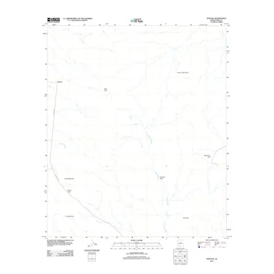
2011 Map of Ventana
USGS Topo · Published 2011About this map
Ventana and the settlement of Muik Vaya sit within a desert landscape defined by ephemeral drainages and high mountain passes. The terrain is dominated by the Cimarron Mountains to the north and the Castle Mountains and Cave Mountain to the southwest. Transportation in this part of Pima County is constrained by the natural topography, with Indian Rte 23 and Indian Rte 34 providing the primary access through the desert floor. Significant seasonal watercourses, including San Simon Wash and the winding Anegam Wash, dictate the layout of the land, while Ventana Pass and Montazona Pass provide critical transitions through the surrounding ranges. This map highlights the isolated nature of these desert communities, where life is centered around the Chui Tontk Valley and the modest infrastructure of the Tohono O'odham Nation.
Find a feature on this map
13 named features on this map. Tap any name to fly to it.
Don’t see what you’re looking for? This feature index may not catch every label — zoom into the map to look around manually.
Map Details
Editions of this 2011 Ventana Map
This is the sole edition of this map. No revisions or reprints were ever made.
Other maps of this area

1941 · Vekol Mountains
USGS Topo · 1:62,500

1942 · Vekol Mountains
USGS Topo · 1:62,500

1953 · Ajo
USGS Topo · 1:250,000

1957 · Ajo
USGS Topo · 1:250,000

1958 · Ajo
USGS Topo · 1:250,000

1958 · Kaka
USGS Topo · 1:62,500

1962 · Ajo
USGS Topo · 1:250,000

1963 · Ajo
USGS Topo · 1:250,000

1963 · Gu Achi
USGS Topo · 1:62,500

1963 · Cimarron Peak
USGS Topo · 1:62,500