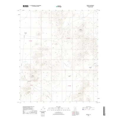
2018 Map of Ventana
USGS Topo · Published 2018About this map
Ventana sits at the western edge of a landscape defined by dramatic elevation shifts and desert drainage systems. The small settlement is linked to the wider region by Indian Rte 23, providing a rare point of human habitation among the surrounding peaks. The terrain is dominated by the Cimarron Mountains to the northeast and the Castle Mountains near the center of the quadrangle, with the Black Hills rising in the southeast.
Find a feature on this map
17 named features on this map. Tap any name to fly to it.
Don’t see what you’re looking for? This feature index may not catch every label — zoom into the map to look around manually.
Map Details
Editions of this 2018 Ventana Map
This is the sole edition of this map. No revisions or reprints were ever made.
Other maps of this area

1941 · Vekol Mountains
USGS Topo · 1:62,500

1942 · Vekol Mountains
USGS Topo · 1:62,500

1953 · Ajo
USGS Topo · 1:250,000

1957 · Ajo
USGS Topo · 1:250,000

1958 · Ajo
USGS Topo · 1:250,000

1958 · Kaka
USGS Topo · 1:62,500

1962 · Ajo
USGS Topo · 1:250,000

1963 · Ajo
USGS Topo · 1:250,000

1963 · Gu Achi
USGS Topo · 1:62,500

1963 · Cimarron Peak
USGS Topo · 1:62,500