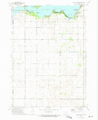
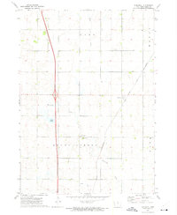
1972 Map of Ventura Heights
USGS Topo · Published 1975About this map
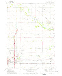
The northwest shoreline of Clear Lake serves as a primary hub of recreation and conservation in northern Iowa during the early 1970s. The settlements of Ventura and Ventura Heights anchor the western edge of the water, where the Ventura Marsh State Game Management Area provides a distinct ecological boundary between the lake and the agricultural lands of Hancock and Cerro Gordo Counties.
Find a feature on this map
22 named features on this map. Tap any name to fly to it.
Don’t see what you’re looking for? This feature index may not catch every label — zoom into the map to look around manually.
Map Details
Editions of this 1972 Ventura Heights Map
This is the sole edition of this map. No revisions or reprints were ever made.
Other maps of this area

1954 · Mason City
USGS Topo · 1:250,000

1954 · Waterloo
USGS Topo · 1:250,000

1955 · Waterloo
USGS Topo · 1:250,000

1957 · Mason City
USGS Topo · 1:250,000

1958 · Mason City
USGS Topo · 1:250,000
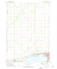
1972 · Clear Lake West
USGS Topo · 1:24,000
1972 · Thornton
USGS Topo · 1:24,000
1972 · Swaledale
USGS Topo · 1:24,000
1972 · Burchinal
USGS Topo · 1:24,000
1972 · Clear Lake East
USGS Topo · 1:24,000