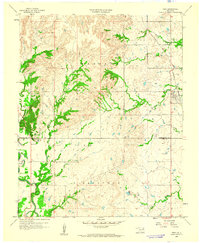
1959 Map of Vera
USGS Topo · Published 1961About this map
The small settlement of Vera serves as the primary focal point of this late-1950s landscape, situated along the line of the Atchison Topeka and Santa Fe railroad. The map reveals a transition between the developing Tulsa metropolitan fringe and the more remote reaches of Washington and Tulsa Counties. To the west, the topography is carved by a dense network of drainages including Skalall Creek, Tyner Creek, and Horsepen Creek, while the southwestern quadrant shows the early footprint of the regional petroleum industry with clusters of Oil Wells and a Gas Well near Bird Creek.
Find a feature on this map
19 named features on this map. Tap any name to fly to it.
Don’t see what you’re looking for? This feature index may not catch every label — zoom into the map to look around manually.
Map Details
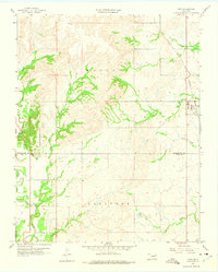
Editions of this 1959 Vera Map
2 editions found
Other maps of this area

1901 · Claremore
USGS Topo · 1:125,000

1901 · Nowata
USGS Topo · 1:125,000

1909 · Pawhuska
USGS Topo · 1:125,000

1910 · Pawhuska
USGS Topo · 1:125,000

1912 · Hominy
USGS Topo · 1:125,000

1914 · Nowata
USGS Topo · 1:125,000

1914 · Claremore
USGS Topo · 1:125,000

1915 · Hominy
USGS Topo · 1:125,000

1916 · Claremore
USGS Topo · 1:125,000

1954 · Tulsa
USGS Topo · 1:250,000