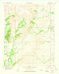
1959 Map of Vera
USGS Topo · Published 1975About this map
The town of Vera sits at the eastern edge of this landscape, served by the Atchison Topeka and Santa Fe railroad line during the late 1950s. This survey records a transition between the agricultural uplands of the Madison township and the lower drainage basins to the south. The southern portion of the quadrangle, primarily within the Skiatook area, is marked by active energy extraction, featuring numerous oil wells and a gas well scattered across the terrain.
Find a feature on this map
19 named features on this map. Tap any name to fly to it.
Don’t see what you’re looking for? This feature index may not catch every label — zoom into the map to look around manually.
Map Details
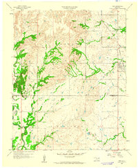
Editions of this 1959 Vera Map
2 editions found
Other maps of this area

1901 · Claremore
USGS Topo · 1:125,000

1901 · Nowata
USGS Topo · 1:125,000

1909 · Pawhuska
USGS Topo · 1:125,000

1910 · Pawhuska
USGS Topo · 1:125,000

1912 · Hominy
USGS Topo · 1:125,000

1914 · Nowata
USGS Topo · 1:125,000

1914 · Claremore
USGS Topo · 1:125,000

1915 · Hominy
USGS Topo · 1:125,000

1916 · Claremore
USGS Topo · 1:125,000

1954 · Tulsa
USGS Topo · 1:250,000