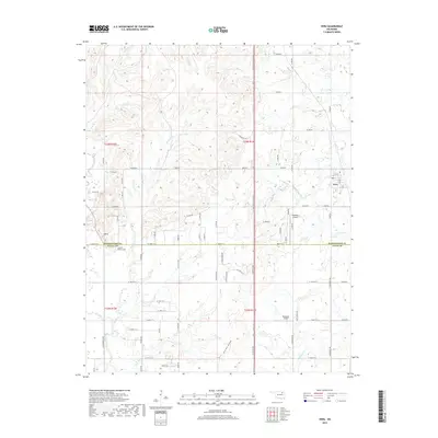
2019 Map of Vera
USGS Topo · Published 2019About this map
The border of Washington and Tulsa counties runs through this northern Oklahoma landscape, centered on the small community of Vera. This 2019 survey captures the area at a time of modern rural development, where a grid of section roads like E 0360 Rd and N 4000 Rd crisscross a terrain defined by numerous small waterways. Notable among these are Skalall Creek, Nellie Blu Creek, and the prominent Bird Creek.
Find a feature on this map
73 named features on this map. Tap any name to fly to it.
Don’t see what you’re looking for? This feature index may not catch every label — zoom into the map to look around manually.
Map Details
Editions of this 2019 Vera Map
This is the sole edition of this map. No revisions or reprints were ever made.
Other maps of this area

1901 · Claremore
USGS Topo · 1:125,000

1901 · Nowata
USGS Topo · 1:125,000

1909 · Pawhuska
USGS Topo · 1:125,000

1910 · Pawhuska
USGS Topo · 1:125,000

1912 · Hominy
USGS Topo · 1:125,000

1914 · Nowata
USGS Topo · 1:125,000

1914 · Claremore
USGS Topo · 1:125,000

1915 · Hominy
USGS Topo · 1:125,000

1916 · Claremore
USGS Topo · 1:125,000

1954 · Tulsa
USGS Topo · 1:250,000