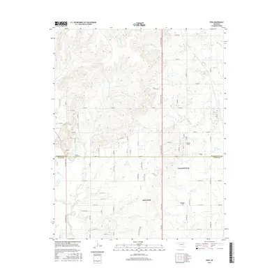
2016 Map of Vera
USGS Topo · Published 2016About this map
Hillside Mission Cem stands near the boundary of Washington and Tulsa Counties, serving as a significant historical anchor for this region north of Tulsa. The settlement of Vera occupies the eastern portion of the map, while the municipal reaches of Skiatook and Collinsville extend into the southern sections. This 2016 survey illustrates a landscape defined by an intricate network of rural section-line roads and several small aviation facilities, including Skyhaven Airpark and Bluestem Airport. The hydrology of the area is particularly detailed, with Bird Creek and its many tributaries, such as Skunk Cr and Nellie Bly Cr, cutting through the undulating terrain. This configuration of family-named creeks and local airports reflects the region's character as a bridge between established town centers and the agricultural expanses of northeastern Oklahoma.
Find a feature on this map
74 named features on this map. Tap any name to fly to it.
Don’t see what you’re looking for? This feature index may not catch every label — zoom into the map to look around manually.
Map Details
Editions of this 2016 Vera Map
This is the sole edition of this map. No revisions or reprints were ever made.
Other maps of this area

1901 · Claremore
USGS Topo · 1:125,000

1901 · Nowata
USGS Topo · 1:125,000

1909 · Pawhuska
USGS Topo · 1:125,000

1910 · Pawhuska
USGS Topo · 1:125,000

1912 · Hominy
USGS Topo · 1:125,000

1914 · Nowata
USGS Topo · 1:125,000

1914 · Claremore
USGS Topo · 1:125,000

1915 · Hominy
USGS Topo · 1:125,000

1916 · Claremore
USGS Topo · 1:125,000

1954 · Tulsa
USGS Topo · 1:250,000