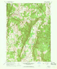
1960 Map of Verbank
USGS Topo · Published 1969About this map
Verbank Village and the surrounding hamlets of Dutchess County define this landscape as it was documented in the mid-20th century. The area is characterized by a mix of agricultural valleys and prominent ridges, with Clove Mountain and East Mountain framing the centralized Clove Valley. Local industry and rural infrastructure are evident through features like Moores Mill and a Borrow Pit near Verbank. Educational and community institutions such as Hope Farm and the Greer Sch are clearly marked, alongside landmarks of local heritage like the Historic Stone Tower. Water resources are abundant, ranging from the winding Sprout Creek to secluded bodies like Furnace Pond and Christie Pond. This 1960 revision provides a detailed view of the township boundaries between Washington, Union Vale, and Beekman, tracing the evolution of local road networks like Waterbury Hill Road and Bloomer Road.
Find a feature on this map
71 named features on this map. Tap any name to fly to it.
Don’t see what you’re looking for? This feature index may not catch every label — zoom into the map to look around manually.
Map Details
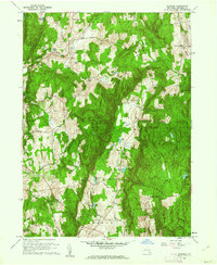
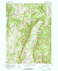
Editions of this 1960 Verbank Map
3 editions found
Other maps of this area

1893 · Clove
USGS Topo · 1:62,500

1893 · Poughkeepsie
USGS Topo · 1:62,500

1894 · Clove
USGS Topo · 1:62,500

1894 · Poughkeepsie
USGS Topo · 1:62,500

1898 · Clove
USGS Topo · 1:62,500

1898 · Rhinebeck
USGS Topo · 1:62,500

1899 · Millbrook
USGS Topo · 1:62,500

1901 · Clove
USGS Topo · 1:62,500

1902 · Millbrook
USGS Topo · 1:62,500

1903 · Poughkeepsie
USGS Topo · 1:62,500