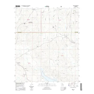
2015 Map of Verda
USGS Topo · Published 2015About this map
Montgomery and the surrounding woodlands of Kisatchie National Forest anchor this landscape along the border of Winn and Grant Parishes. The terrain is defined by an intricate network of waterways, including Nantachie Creek and Dartigo Creek, which flow through a region characterized by small rural settlements and timberland. Historical points of interest for researchers include several family-named roads and landmarks, such as Mars Hill and the adjacent Mars Hill Cem.
Find a feature on this map
92 named features on this map. Tap any name to fly to it.
Don’t see what you’re looking for? This feature index may not catch every label — zoom into the map to look around manually.
Map Details
Editions of this 2015 Verda Map
This is the sole edition of this map. No revisions or reprints were ever made.
Other maps of this area

1932 · Colfax SW
USGS Topo · 1:31,680

1932 · Colfax NW
USGS Topo · 1:31,680

1935 · Verda
USGS Topo · 1:31,680

1936 · Colfax
USGS Topo · 1:62,500

1937 · Aloha
USGS Topo · 1:31,680

1937 · Montgomery
USGS Topo · 1:62,500

1937 · Cloutierville
USGS Topo · 1:31,680

1942 · Montgomery
USGS Topo · 1:62,500

1945 · Montgomery
USGS Topo · 1:62,500

1949 · Calvin SE
USGS Topo · 1:31,680