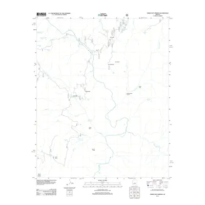
2012 Map of Verde Hot Springs
USGS Topo · Published 2012About this map
Verde Hot Springs and the surrounding wilderness of Yavapai County are documented here as they appeared in 2012. The landscape is defined by the convergence of major desert watercourses, including the Verde River and the East Verde River, which carve through deep canyons and over navigational hazards like Childs Rapid and Red Wall Rapid. The settlement of Lancaster stands as a focal point near Houston Creek, while the intricate network of forest roads like Child's Power Rd provides access to remote interior points.
Find a feature on this map
65 named features on this map. Tap any name to fly to it.
Don’t see what you’re looking for? This feature index may not catch every label — zoom into the map to look around manually.
Map Details
Editions of this 2012 Verde Hot Springs Map
This is the sole edition of this map. No revisions or reprints were ever made.
Other maps of this area

1887 · Verde
USGS Topo · 1:250,000

1892 · Verde
USGS Topo · 1:250,000

1929 · Turret Peak
USGS Topo · 1:125,000

1933 · Turret Peak
USGS Topo · 1:125,000

1954 · Holbrook
USGS Topo · 1:250,000

1957 · Holbrook
USGS Topo · 1:250,000

1958 · Holbrook
USGS Topo · 1:250,000

1960 · Holbrook
USGS Topo · 1:250,000
1967 · Tule Mesa
USGS Topo · 1:24,000
1967 · Hackberry Mtn.
USGS Topo · 1:24,000