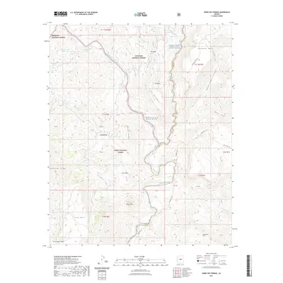
2021 Map of Verde Hot Springs
USGS Topo · Published 2021About this map
Lancaster sits at the heart of this central Arizona landscape where the boundaries of three major national forests converge. The map documents the meeting point of the Prescott National Forest, Coconino National Forest, and Tonto National Forest, defined by a dramatic network of canyons and high mesas. The hydrological significance of the area is highlighted by the protected status of the Fossil Creek Wild and Scenic River and the Verde Wild and Scenic River, which carve deep paths through the complex terrain.
Find a feature on this map
59 named features on this map. Tap any name to fly to it.
Don’t see what you’re looking for? This feature index may not catch every label — zoom into the map to look around manually.
Map Details
Editions of this 2021 Verde Hot Springs Map
This is the sole edition of this map. No revisions or reprints were ever made.
Other maps of this area

1887 · Verde
USGS Topo · 1:250,000

1892 · Verde
USGS Topo · 1:250,000

1929 · Turret Peak
USGS Topo · 1:125,000

1933 · Turret Peak
USGS Topo · 1:125,000

1954 · Holbrook
USGS Topo · 1:250,000

1957 · Holbrook
USGS Topo · 1:250,000

1958 · Holbrook
USGS Topo · 1:250,000

1960 · Holbrook
USGS Topo · 1:250,000
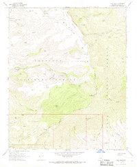
1967 · Tule Mesa
USGS Topo · 1:24,000
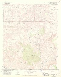
1967 · Hackberry Mtn.
USGS Topo · 1:24,000