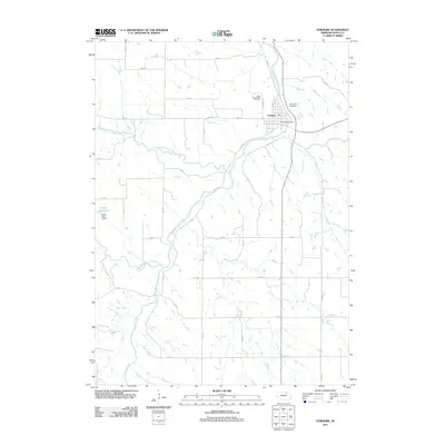
2011 Map of Verdigre
USGS Topo · Published 2011About this map
Verdigre serves as the central hub of this Knox County landscape, where the confluence of several waterways defines the terrain. The village is positioned at the intersection of Verdigre Creek and its northern and middle branches, creating a distinctive drainage pattern that has historically shaped local agricultural and settlement boundaries. The township's civic life is centered around the Verdigre Post Office, while the community's heritage is preserved at Saint Wenceslaus Cemetery and Riverside Cemetery on the village outskirts. To the west, the Sukup Reservoir and Sukup Dam represent a significant hydraulic feature on the landscape. The map reveals a rigid section-line road network, including 882 RD and 523 Ave, which grids the undulating Nebraska prairie, illustrating the enduring legacy of the Public Land Survey System in organizing the rural Midwest.
Find a feature on this map
25 named features on this map. Tap any name to fly to it.
Don’t see what you’re looking for? This feature index may not catch every label — zoom into the map to look around manually.
Map Details
Editions of this 2011 Verdigre Map
This is the sole edition of this map. No revisions or reprints were ever made.
Other maps of this area

1950 · Verdigre NE
USGS Topo · 1:24,000

1950 · Pishelville
USGS Topo · 1:24,000

1954 · Walnut
USGS Topo · 1:24,000

1954 · Verdigre
USGS Topo · 1:24,000

1955 · Sioux City
USGS Topo · 1:250,000

1955 · O'Neill
USGS Topo · 1:250,000

1958 · Sioux City
USGS Topo · 1:250,000

1959 · O'Neill
USGS Topo · 1:250,000

1959 · Sioux City
USGS Topo · 1:250,000

1963 · Orchard NE
USGS Topo · 1:24,000