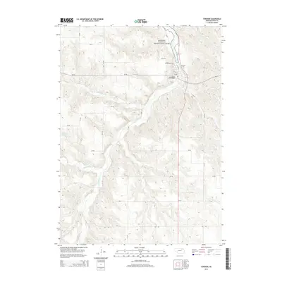
2014 Map of Verdigre
USGS Topo · Published 2014About this map
Verdigre serves as the central hub of this Knox County landscape, where the confluence of several waterways defines the terrain. The village is positioned near where the North Branch Verdigre Cr and Middle Branch Verdigre Cr contribute to the main flow of Verdigre Cr. This network of streams carves through the undulating Nebraska hills, eventually leading toward the Missouri National Recreational River corridor in the northeast. Local heritage is anchored by the presence of Saint Wenceslaus Cem and Riverside Cem, situated just outside the residential core. The surrounding area is characterized by a grid of rural routes such as 881 Rd and 522 Ave, supporting a landscape of agricultural production and water management, evidenced by the Sukup Reservoir to the west.
Find a feature on this map
29 named features on this map. Tap any name to fly to it.
Don’t see what you’re looking for? This feature index may not catch every label — zoom into the map to look around manually.
Map Details
Editions of this 2014 Verdigre Map
This is the sole edition of this map. No revisions or reprints were ever made.
Other maps of this area

1950 · Verdigre NE
USGS Topo · 1:24,000

1950 · Pishelville
USGS Topo · 1:24,000

1954 · Walnut
USGS Topo · 1:24,000

1954 · Verdigre
USGS Topo · 1:24,000

1955 · Sioux City
USGS Topo · 1:250,000

1955 · O'Neill
USGS Topo · 1:250,000

1958 · Sioux City
USGS Topo · 1:250,000

1959 · O'Neill
USGS Topo · 1:250,000

1959 · Sioux City
USGS Topo · 1:250,000

1963 · Orchard NE
USGS Topo · 1:24,000