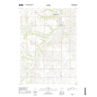
2021 Map of Verdigre
USGS Topo · Published 2021About this map
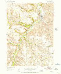
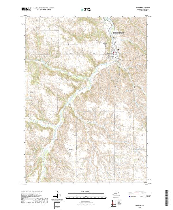
Verdigre stands as the primary hub in this corner of Knox County, where the valley of Verdigre Creek meets a network of local roads and watercourses. The town's Czech heritage is reflected in landmarks like Saint Wenceslaus Cem, situated just north of the village center near Riverside Cem. To the north, the landscape is defined by the convergence of major protected waterways, including the Niobrara Wild and Scenic River and the Missouri National Recreation River, which shape the northern border of this township. The surrounding agricultural lands are dissected by the North Branch Verdigre Creek and Middle Branch Verdigre Creek, while the Sukup Reservoir provides a localized water feature to the west. This mapping reflects the modern rural character of the region, anchored by established family cemeteries and a distinct river-driven topography.
Find a feature on this map
29 named features on this map. Tap any name to fly to it.
Don’t see what you’re looking for? This feature index may not catch every label — zoom into the map to look around manually.
Map Details
Editions of this 2021 Verdigre Map
This is the sole edition of this map. No revisions or reprints were ever made.
Historical Maps of Verdigre Through Time
5 maps found