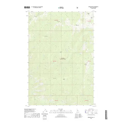
2020 Map of Vermilion Peak
USGS Topo · Published 2020About this map
Nez Perce National Forest dominates this section of Idaho County, where a complex network of ridges and drainage basins defines the landscape. The topographic survey illustrates a series of high-altitude landmarks including Copper Butte, Little Copper Butte, and the prominent Vermilion Peak in the southeastern quadrant. These peaks are separated by steep drainages such as Buck Lake Cr, Little Schooner Cr, and the winding path of Meadow Creek at the southern boundary.
Find a feature on this map
42 named features on this map. Tap any name to fly to it.
Don’t see what you’re looking for? This feature index may not catch every label — zoom into the map to look around manually.
Map Details
Editions of this 2020 Vermilion Peak Map
This is the sole edition of this map. No revisions or reprints were ever made.
Other maps of this area

1911 · Lolo
USGS Topo · 1:250,000

1913 · Lolo
USGS Topo · 1:250,000

1956 · Elk City
USGS Topo · 1:250,000

1956 · Hamilton
USGS Topo · 1:250,000

1959 · Hamilton
USGS Topo · 1:250,000

1960 · Elk City
USGS Topo · 1:250,000

1960 · Hamilton
USGS Topo · 1:250,000

1964 · Hamilton
USGS Topo · 1:250,000

1966 · Selway Falls
USGS Topo · 1:24,000

1966 · Green Mtn.
USGS Topo · 1:24,000