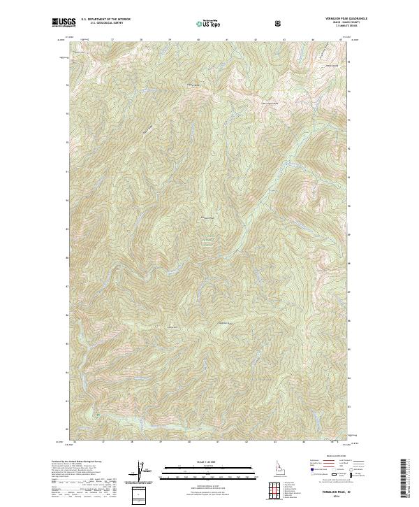
2024 Map of Vermilion Peak
USGS Topo · Published 2024About this map
Nez Perce National Forest dominates this Idaho landscape, where the high ridges and deep drainages of the Selway-Bitterroot Wilderness create a complex network of peaks and watercourses. The northern reaches are anchored by Indian Hill and the narrow corridor of Indian Hill Rd, while the eastern boundary is defined by the elevation of Vermilion Peak and Highline Ridge.
Find a feature on this map
41 named features on this map. Tap any name to fly to it.
Don’t see what you’re looking for? This feature index may not catch every label — zoom into the map to look around manually.
Map Details
Editions of this 2024 Vermilion Peak Map
This is the sole edition of this map. No revisions or reprints were ever made.
Other maps of this area

1911 · Lolo
USGS Topo · 1:250,000

1913 · Lolo
USGS Topo · 1:250,000

1956 · Elk City
USGS Topo · 1:250,000

1956 · Hamilton
USGS Topo · 1:250,000

1959 · Hamilton
USGS Topo · 1:250,000

1960 · Elk City
USGS Topo · 1:250,000

1960 · Hamilton
USGS Topo · 1:250,000

1964 · Hamilton
USGS Topo · 1:250,000

1966 · Selway Falls
USGS Topo · 1:24,000

1966 · Green Mtn.
USGS Topo · 1:24,000