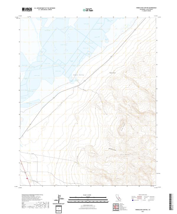
2021 Map of Vermillion Canyon
USGS Topo · Published 2021About this map
Owens Lake dominates the northwestern quadrant of this landscape, its expansive bed marking the floor of the Owens Valley where the Great Basin meets the northern reaches of the Mojave Desert. The map documents a stark topographical transition, rising from the lake basin into the elevated terrain of the Coso Range and Red Ridge. Evidence of the region’s volcanic and geothermal character is grounded in features like Dirty Socks Spring, located near the intersection of the valley floor and the rising slopes. The southern half of the sheet is defined by complex drainage patterns, most notably Vermillion Canyon, which cuts through the high country. Navigational routes like Lava Lk Rd and Fall Rd provide the only access through this arid environment, illustrating the sparse settlement and remote nature of this portion of Inyo County.
Find a feature on this map
15 named features on this map. Tap any name to fly to it.
Don’t see what you’re looking for? This feature index may not catch every label — zoom into the map to look around manually.
Map Details
Editions of this 2021 Vermillion Canyon Map
This is the sole edition of this map. No revisions or reprints were ever made.
Other maps of this area

1905 · Olancha
USGS Topo · 1:125,000

1907 · Olancha
USGS Topo · 1:125,000

1908 · Ballarat
USGS Topo · 1:250,000

1913 · Ballarat
USGS Topo · 1:250,000

1948 · Death Valley
USGS Topo · 1:250,000

1948 · Fresno
USGS Topo · 1:250,000

1951 · Keeler
USGS Topo · 1:62,500

1951 · Haiwee Reservoir
USGS Topo · 1:62,500

1954 · Death Valley
USGS Topo · 1:250,000

1955 · Fresno
USGS Topo · 1:250,000