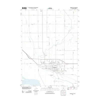
2012 Map of Vermillion
USGS Topo · Published 2012About this map
The University of South Dakota serves as the cultural and architectural centerpiece of Vermillion, a city uniquely positioned near the confluence of several major waterways. The town's grid is bounded by the winding Vermillion River to the south, while the massive Missouri River defines the southern edge of the quadrangle. Significant agricultural drainage engineering is evident through the Clay Creek Ditch and Yankton Clay Ditch, which manage the low-lying plains surrounding the city.
Find a feature on this map
77 named features on this map. Tap any name to fly to it.
Don’t see what you’re looking for? This feature index may not catch every label — zoom into the map to look around manually.
Map Details
Editions of this 2012 Vermillion Map
This is the sole edition of this map. No revisions or reprints were ever made.
Other maps of this area

1898 · Elk Point
USGS Topo · 1:125,000

1901 · Elk Point
USGS Topo · 1:125,000

1907 · Elk Point
USGS Topo · 1:125,000

1955 · Sioux City
USGS Topo · 1:250,000

1958 · Sioux City
USGS Topo · 1:250,000

1959 · Sioux City
USGS Topo · 1:250,000

1964 · Burbank
USGS Topo · 1:24,000

1964 · Maskell
USGS Topo · 1:24,000

1968 · Obert
USGS Topo · 1:24,000
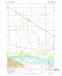
1968 · Meckling
USGS Topo · 1:24,000
Featured Places
- Vermillion, SD
- Vermillion Township, SD
- Fairview Township, SD
- Prairie Center Township, SD
- Spirit Mound Township, SD