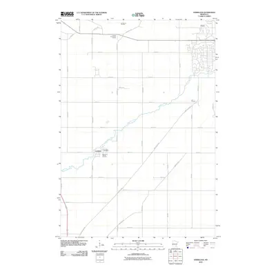
2010 Map of Vermillion
USGS Topo · Published 2010About this map
The Vermillion River meanders across this Dakota County landscape, anchoring the settlement of Vermillion and its surrounding agricultural grid. This 2010 survey shows the community’s infrastructure in detail, including the Vermillion Post Office and multiple generational burial sites such as Saint John's Catholic Cemetery, Lyon Cemetery, and Oakwood Cemetery. The transition from rural farmland to recreational space is evident at the Emerald Greens Golf Course in the northern portion of the quadrangle. A dense network of named roads like Northfield Blvd and Lewiston Blvd connects the outlying homesteads to the river valley, illustrating the modern rural-suburban character of the region south of the Twin Cities.
Find a feature on this map
33 named features on this map. Tap any name to fly to it.
Don’t see what you’re looking for? This feature index may not catch every label — zoom into the map to look around manually.
Map Details
Editions of this 2010 Vermillion Map
This is the sole edition of this map. No revisions or reprints were ever made.
Other maps of this area

1896 · St. Paul
USGS Topo · 1:62,500

1946 · Hudson
USGS Topo · 1:62,500

1949 · Hudson
USGS Topo · 1:62,500

1950 · St Paul Park
USGS Topo · 1:24,000

1951 · St Paul Park
USGS Topo · 1:24,000

1951 · Prescott
USGS Topo · 1:24,000

1951 · Inver Grove
USGS Topo · 1:24,000

1951 · St. Paul
USGS Topo · 1:62,500

1953 · Saint Paul
USGS Topo · 1:250,000

1957 · Farmington
USGS Topo · 1:62,500