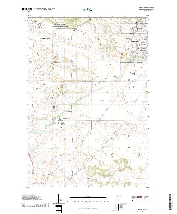
2022 Map of Vermillion
USGS Topo · Published 2022About this map
Vermillion and the surrounding Dakota County landscape are defined by the winding course of the Vermillion River, which meanders through the central section of this survey. This modern look at the region shows the suburban edges of Rosemount and Hastings encroaching upon traditional farmland and river valleys. For genealogists, the map identifies several distinct burial grounds including Spring Lake Cem, Oakwood Cem, and Lyon Cem, as well as the Saint John The Baptist Catholic Cem near the town center. The northern edge is anchored by the Mississippi National River and Recreation Area, providing a clear view of the protected riverfront corridor. Major thoroughfares such as Coates Blvd and Lewiston Blvd reflect the developed infrastructure supporting the Dakota County Judicial Center and the expanding residential grid.
Find a feature on this map
48 named features on this map. Tap any name to fly to it.
Don’t see what you’re looking for? This feature index may not catch every label — zoom into the map to look around manually.
Map Details
Editions of this 2022 Vermillion Map
This is the sole edition of this map. No revisions or reprints were ever made.
Other maps of this area

1896 · St. Paul
USGS Topo · 1:62,500

1946 · Hudson
USGS Topo · 1:62,500

1949 · Hudson
USGS Topo · 1:62,500

1950 · St Paul Park
USGS Topo · 1:24,000

1951 · St Paul Park
USGS Topo · 1:24,000

1951 · Prescott
USGS Topo · 1:24,000

1951 · Inver Grove
USGS Topo · 1:24,000

1951 · St. Paul
USGS Topo · 1:62,500

1953 · Saint Paul
USGS Topo · 1:250,000

1957 · Farmington
USGS Topo · 1:62,500