Loading...
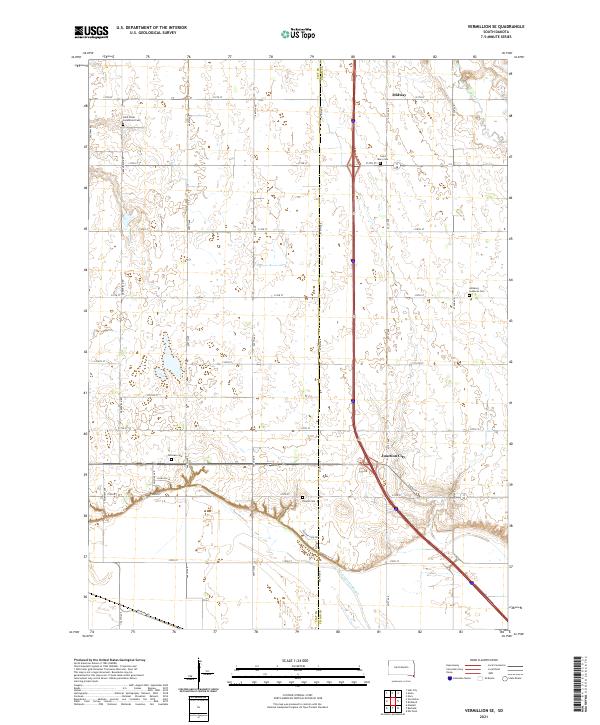
Loading map...2021 Map of Vermillion SE
USGS Topo · Published 2021About this map
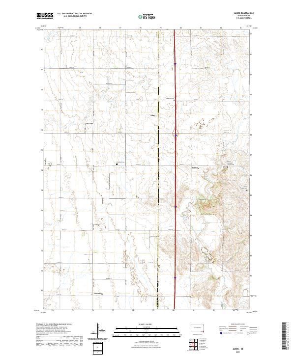
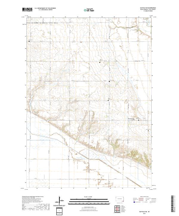
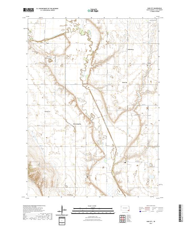
The borderlands of Clay and Union Counties are defined here by a transition from the rolling prairie uplands down toward the alluvial plains. This 2021 landscape is anchored by rural heritage sites, including the Saint Peter Greenfield Cem and Saint Mary Cem in the north, and the Ahlsborg Lutheran Cem further east. These landmarks, along with Fairview Cem and Dowlin Cem, serve as primary genealogical anchors for the area's farming families.
Find a feature on this map
37 named features on this map. Tap any name to fly to it.
Don’t see what you’re looking for? This feature index may not catch every label — zoom into the map to look around manually.
Map Details
Date Portrayed2021
Date Published2021
PublisherU.S. Geological Survey
Map TypeTopographic
Scale1:24000
Physical Dimensions24 x 29 inches
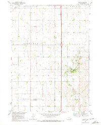
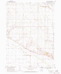
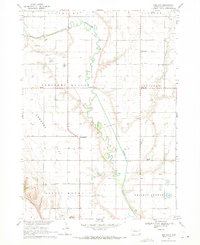
Editions of this 2021 Vermillion SE Map
This is the sole edition of this map. No revisions or reprints were ever made.
Historical Maps of Fairview Township Through Time
8 maps found
Featured Locations
- Spink Township, SD
- Brule Township, SD
- Prairie Center Township, SD
- Midway, Spink Township
- Junction City, Brule Township
Source Details
SourceU.S. Geological Survey
CopyrightPublic Domain