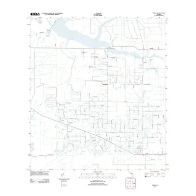
2012 Map of Verna
USGS Topo · Published 2012About this map
Lake Manatee and the upper Manatee River dominate the northern landscape of this region on the Manatee and Sarasota county line. In the early 21st century, this area remains a mix of agricultural tracts and emerging residential pockets, anchored by the long-standing settlements of Bethany, Waterbury, and Verna. The local road network, including Verna Bethany Rd and Co Rd-675, links these rural communities across a terrain defined by numerous waterways such as Gilley Cr, Fisher Branch, and Poley Br.
Find a feature on this map
96 named features on this map. Tap any name to fly to it.
Don’t see what you’re looking for? This feature index may not catch every label — zoom into the map to look around manually.
Map Details
Editions of this 2012 Verna Map
This is the sole edition of this map. No revisions or reprints were ever made.
Other maps of this area

1944 · Rye
USGS Topo · 1:31,680

1944 · Verna
USGS Topo · 1:31,680

1944 · Lorraine
USGS Topo · 1:31,680

1944 · Parish
USGS Topo · 1:31,680

1944 · Miakka
USGS Topo · 1:31,680

1947 · Bee Ridge
USGS Topo · 1:24,000

1956 · Myakka City
USGS Topo · 1:24,000

1956 · Myakka City NW
USGS Topo · 1:24,000

1956 · Keentown
USGS Topo · 1:24,000

1956 · Tampa
USGS Topo · 1:250,000