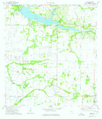
1973 Map of Verna
USGS Topo · Published 1975About this map
Manatee River tributaries and agricultural infrastructure define this inland Florida landscape near the border of Manatee and Sarasota Counties. The river is fed by several distinct watercourses, including Boggy Creek, Gilley Creek, and Potey Branch, creating a network of drainage across the terrain. Small rural settlements like Waterbury and Verna are connected by a grid of thoroughfares such as Verna Road and Jennings Road, illustrating the area's mid-century development patterns.
Find a feature on this map
20 named features on this map. Tap any name to fly to it.
Don’t see what you’re looking for? This feature index may not catch every label — zoom into the map to look around manually.
Map Details
Editions of this 1973 Verna Map
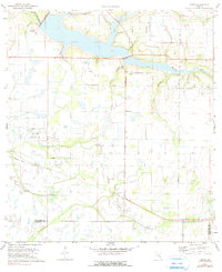
2 editions found
Other maps of this area

1944 · Rye
USGS Topo · 1:31,680

1944 · Verna
USGS Topo · 1:31,680

1944 · Lorraine
USGS Topo · 1:31,680

1944 · Parish
USGS Topo · 1:31,680

1944 · Miakka
USGS Topo · 1:31,680

1947 · Bee Ridge
USGS Topo · 1:24,000

1956 · Myakka City
USGS Topo · 1:24,000

1956 · Myakka City NW
USGS Topo · 1:24,000

1956 · Keentown
USGS Topo · 1:24,000

1956 · Tampa
USGS Topo · 1:250,000