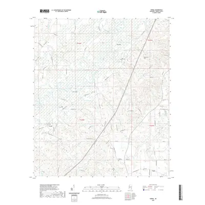
2020 Map of Vernal
USGS Topo · Published 2020About this map
The Chickasawhay River meanders through this portion of Greene County, creating a complex wetland environment of oxbows and backwaters like Muddy Lake, Horseshoe Lake, and Fence Lake. This riverine landscape is central to the area's geography, with the settlement of Byrd Bend situated near a prominent river loop. Higher ground is found to the east in the Sand Creek Hills, providing a stark contrast to the low-lying basins of the Foshee Eddy and Jumper Bay.
Find a feature on this map
100 named features on this map. Tap any name to fly to it.
Don’t see what you’re looking for? This feature index may not catch every label — zoom into the map to look around manually.
Map Details
Editions of this 2020 Vernal Map
This is the sole edition of this map. No revisions or reprints were ever made.
Other maps of this area

1941 · Lucedale
USGS Topo · 1:62,500

1942 · Deer Park
USGS Topo · 1:62,500

1942 · Wilmer
USGS Topo · 1:62,500

1943 · Lucedale
USGS Topo · 1:62,500

1943 · Deer Park
USGS Topo · 1:62,500

1944 · Wilmer
USGS Topo · 1:62,500

1953 · Hattiesburg
USGS Topo · 1:250,000

1953 · Mobile
USGS Topo · 1:250,000

1957 · Mobile
USGS Topo · 1:250,000

1958 · Hattiesburg
USGS Topo · 1:250,000