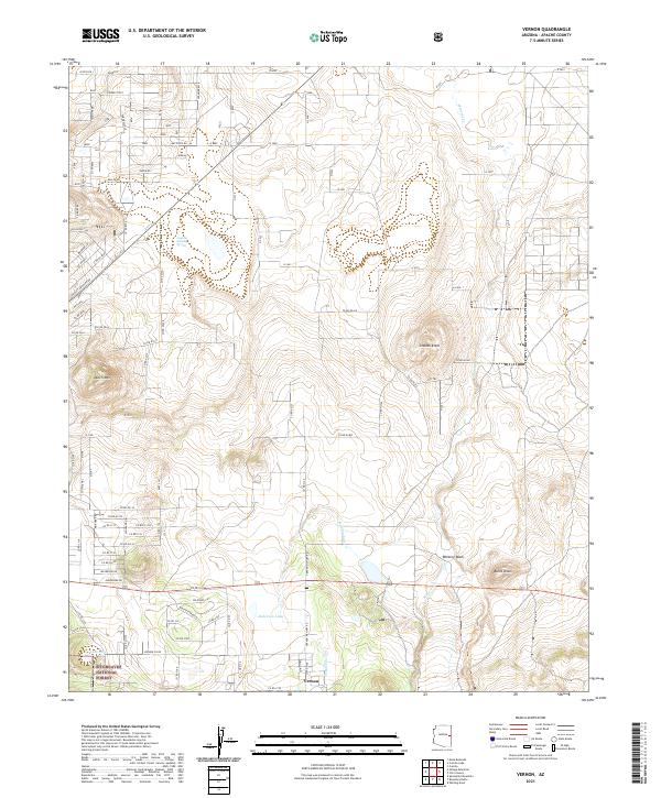
2021 Map of Vernon
USGS Topo · Published 2021About this map
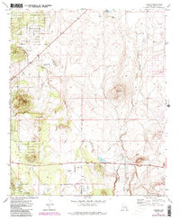
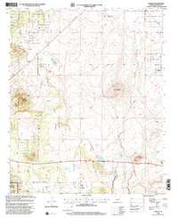
Vernon serves as the primary settlement hub on this high-desert plateau, where the landscape is defined by volcanic features and essential water sources. Prominent landmarks such as Smooth Knoll, Dutch Mtn, and Burnt Knoll break the horizon, while the southern portion of the quadrangle descends into the Sitgreaves National Forest. This region is a critical drainage area, with Mineral Cr and Whiting Wash carving paths through the terrain toward catchments like Anderson Lake and the aptly named Lake Hole.
Find a feature on this map
82 named features on this map. Tap any name to fly to it.
Don’t see what you’re looking for? This feature index may not catch every label — zoom into the map to look around manually.
Map Details
Editions of this 2021 Vernon Map
This is the sole edition of this map. No revisions or reprints were ever made.