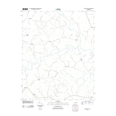
2011 Map of Vernon Hill
USGS Topo · Published 2011About this map
Banister River meanders across this rural landscape, defining the northern geography where Meadville and Rosa sit. This portion of Halifax County is characterized by a dense network of local roads and trails, such as Ed Mason Ln and Parsonage Rd, connecting small rural settlements and family estates. The map documents numerous named locations that speak to the area's social history, including Chaneys Store and landmarks like Sign Rock and High Rock.
Find a feature on this map
70 named features on this map. Tap any name to fly to it.
Don’t see what you’re looking for? This feature index may not catch every label — zoom into the map to look around manually.
Map Details
Editions of this 2011 Vernon Hill Map
This is the sole edition of this map. No revisions or reprints were ever made.
Other maps of this area

1952 · Milton
USGS Topo · 1:62,500

1953 · South Boston
USGS Topo · 1:62,500

1953 · Greensboro
USGS Topo · 1:250,000

1954 · Greensboro
USGS Topo · 1:250,000

1954 · Halifax
USGS Topo · 1:62,500

1954 · Riceville
USGS Topo · 1:62,500

1956 · Milton
USGS Topo · 1:62,500

1957 · South Boston
USGS Topo · 1:62,500

1962 · Greensboro
USGS Topo · 1:250,000

1966 · Greensboro
USGS Topo · 1:250,000