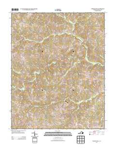
2013 Map of Vernon Hill
USGS Topo · Published 2013About this map
Banister River meanders through the central Virginia landscape, anchoring a rural territory of Halifax County defined by scattered agricultural settlements and small-scale aviation. The community of Meadville sits along the river's eastern banks, while the Fox Fire Airport provides a localized hub for regional transit amidst the surrounding fields and timberland. This 2013 survey illustrates the enduring rural character of the region, where the network of named trails and roads like Chatham Rd connects historical crossroads and farms.
Find a feature on this map
79 named features on this map. Tap any name to fly to it.
Don’t see what you’re looking for? This feature index may not catch every label — zoom into the map to look around manually.
Map Details
Editions of this 2013 Vernon Hill Map
This is the sole edition of this map. No revisions or reprints were ever made.
Other maps of this area

1952 · Milton
USGS Topo · 1:62,500

1953 · South Boston
USGS Topo · 1:62,500

1953 · Greensboro
USGS Topo · 1:250,000

1954 · Greensboro
USGS Topo · 1:250,000

1954 · Halifax
USGS Topo · 1:62,500

1954 · Riceville
USGS Topo · 1:62,500

1956 · Milton
USGS Topo · 1:62,500

1957 · South Boston
USGS Topo · 1:62,500

1962 · Greensboro
USGS Topo · 1:250,000

1966 · Greensboro
USGS Topo · 1:250,000