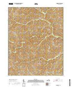
2019 Map of Vernon Hill
USGS Topo · Published 2019About this map
Vernon Hill and the surrounding Halifax County countryside are defined by a dense network of creeks and drainage basins feeding into the Banister River. In this part of southern Virginia, the landscape is dotted with small, historically rooted communities such as Meadville, Rodden, and White Oak. The topography is shaped by the winding courses of Sandy Creek and Polecat Cr, which carve through the terrain between prominent local rises like High Rock and Sign Rock.
Find a feature on this map
73 named features on this map. Tap any name to fly to it.
Don’t see what you’re looking for? This feature index may not catch every label — zoom into the map to look around manually.
Map Details
Editions of this 2019 Vernon Hill Map
This is the sole edition of this map. No revisions or reprints were ever made.
Other maps of this area

1952 · Milton
USGS Topo · 1:62,500

1953 · South Boston
USGS Topo · 1:62,500

1953 · Greensboro
USGS Topo · 1:250,000

1954 · Greensboro
USGS Topo · 1:250,000

1954 · Halifax
USGS Topo · 1:62,500

1954 · Riceville
USGS Topo · 1:62,500

1956 · Milton
USGS Topo · 1:62,500

1957 · South Boston
USGS Topo · 1:62,500

1962 · Greensboro
USGS Topo · 1:250,000

1966 · Greensboro
USGS Topo · 1:250,000