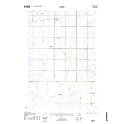
2020 Map of Verona
USGS Topo · Published 2020About this map
Verona serves as the primary hub of this landscape where four counties — LaMoure, Ransom, Dickey, and Sargent — converge. The terrain is defined by the winding course of Bear Creek and numerous small prairie potholes that characterize this portion of the James River Valley region. To the south of the town center, Our Lady of Sorrows Catholic Cem and Pilgrims Rest Cem offer significant points of interest for genealogists and local historians documenting the early families of the area. The grid-like organization of rural routes, such as 72nd St SE and 78th St SE, reflects the enduring structure of the township and range system in this agricultural heartland.
Find a feature on this map
28 named features on this map. Tap any name to fly to it.
Don’t see what you’re looking for? This feature index may not catch every label — zoom into the map to look around manually.
Map Details
Editions of this 2020 Verona Map
This is the sole edition of this map. No revisions or reprints were ever made.
Other maps of this area

1894 · Oakes
USGS Topo · 1:62,500

1895 · Lamoure
USGS Topo · 1:125,000

1918 · La Moure
USGS Topo · 1:125,000

1952 · Glover
USGS Topo · 1:24,000

1952 · Oakes
USGS Topo · 1:24,000

1952 · Crete
USGS Topo · 1:24,000

1952 · Independence
USGS Topo · 1:24,000

1953 · Jamestown
USGS Topo · 1:250,000

1953 · Fargo
USGS Topo · 1:250,000

1956 · Fargo
USGS Topo · 1:250,000