Loading...
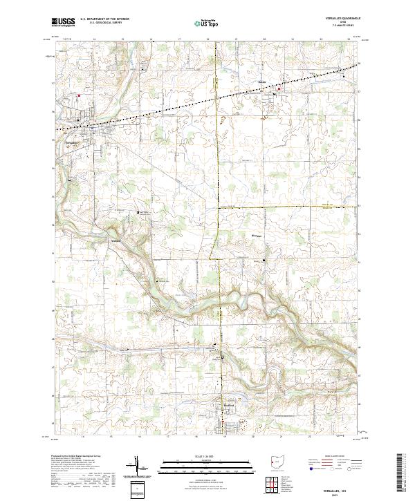
Loading map...2023 Map of Versailles
USGS Topo · Published 2023About this map
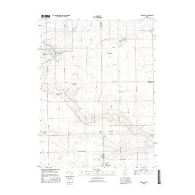
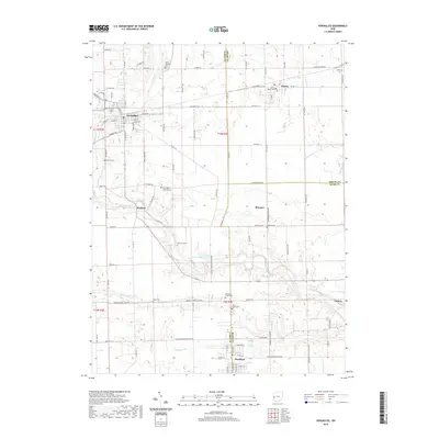
Versailles and the village of Russia anchor this survey of the western Ohio countryside, where the landscape is defined by the winding course of the Stillwater River. The area is notably dense with small family and parish burial grounds, reflecting the deep-rooted agricultural settlement of the region. Genealogists can find numerous sites such as Saint Valberts Cem, Saint Remy Cem, and the Old Harris Creek Cem scattered among the rural townships.
Find a feature on this map
108 named features on this map. Tap any name to fly to it.
Don’t see what you’re looking for? This feature index may not catch every label — zoom into the map to look around manually.
Map Details
Date Portrayed2023
Date Published2023
PublisherU.S. Geological Survey
Map TypeTopographic
Scale1:24,000
Physical Dimensions24 x 29 inches
Editions of this 2023 Versailles Map
This is the sole edition of this map. No revisions or reprints were ever made.
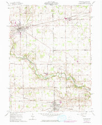
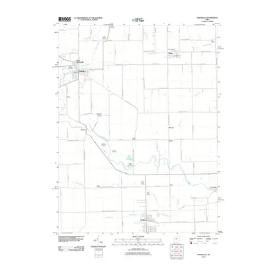
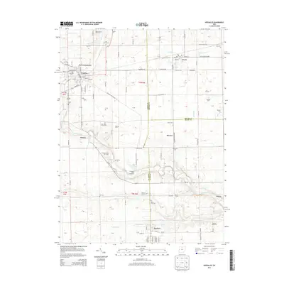
Historical Maps of Versailles Through Time
6 maps found
Featured Locations
Source Details
SourceU.S. Geological Survey
CopyrightPublic Domain