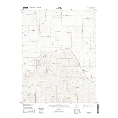
2015 Map of Versailles
USGS Topo · Published 2015About this map
The Morgan County seat of Versailles sits at the center of this 2015 survey, serving as a hub for a landscape defined by its branching waterway systems. The town’s grid, featuring streets like W Newton St and E Lafayette St, transitions into a surrounding rural network of named roads like Red Ribbon Rd and Rockafeller Rd. To the west, the Roy Otten Memorial Airfield borders the town limits, while the Versailles City Cemetery provides a focal point for local genealogical interest.
Find a feature on this map
62 named features on this map. Tap any name to fly to it.
Don’t see what you’re looking for? This feature index may not catch every label — zoom into the map to look around manually.
Map Details
Editions of this 2015 Versailles Map
This is the sole edition of this map. No revisions or reprints were ever made.
Other maps of this area

1888 · Versailles
USGS Topo · 1:125,000

1888 · Boonville
USGS Topo · 1:125,000

1893 · Versailles
USGS Topo · 1:125,000

1904 · Eldon
USGS Topo · 1:62,500

1904 · Gravois Mills
USGS Topo · 1:62,500

1935 · Gravois Mills
USGS Topo · 1:24,000

1935 · Proctor Creek
USGS Topo · 1:24,000

1935 · Rocky Mount
USGS Topo · 1:24,000

1947 · Jefferson City
USGS Topo · 1:250,000

1949 · Gravois Mills
USGS Topo · 1:62,500