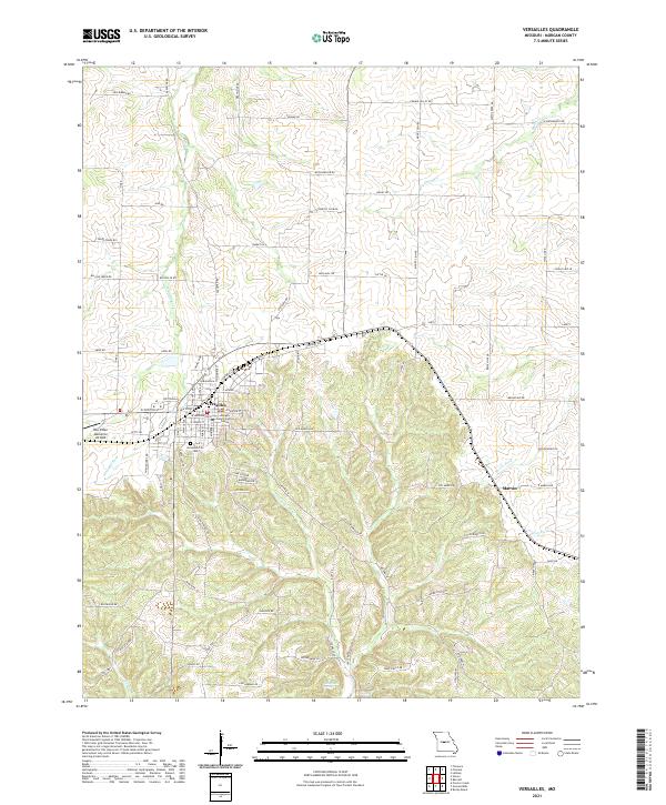
2021 Map of Versailles
USGS Topo · Published 2021About this map
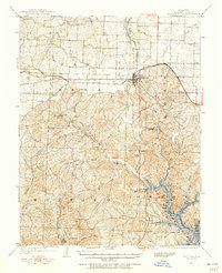
Versailles serves as the focal point of this Morgan County landscape, showing the organized street grid of the county seat alongside the Morgan County Justice Center. The terrain is defined by a dense network of creek drainages, including the Little Gravois Cr and Burris Fork, which carve through the Ozark plateau. To the west of the main settlement, the Roy Otten Memorial Airfield sits near the headwaters of the Straight Fork. Outside of the primary town, the small community of Marvin is situated to the southeast, marking a quieter crossroads in the rural countryside. Genealogists will find the Versailles City Cem clearly delineated on the southern edge of town, while the presence of James Mill Spring in the southern hills suggests the historical importance of natural water sources to early local industry and homesteading.
Find a feature on this map
90 named features on this map. Tap any name to fly to it.
Don’t see what you’re looking for? This feature index may not catch every label — zoom into the map to look around manually.
Map Details
Editions of this 2021 Versailles Map
This is the sole edition of this map. No revisions or reprints were ever made.
Other maps of this area

1888 · Versailles
USGS Topo · 1:125,000

1888 · Boonville
USGS Topo · 1:125,000

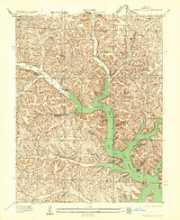
1893 · Versailles
USGS Topo · 1:125,000

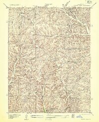
1904 · Eldon
USGS Topo · 1:62,500

1904 · Gravois Mills
USGS Topo · 1:62,500
1935 · Gravois Mills
USGS Topo · 1:24,000
1935 · Proctor Creek
USGS Topo · 1:24,000
1935 · Rocky Mount
USGS Topo · 1:24,000

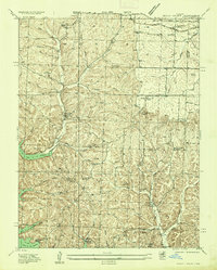
1947 · Jefferson City
USGS Topo · 1:250,000
1949 · Gravois Mills
USGS Topo · 1:62,500