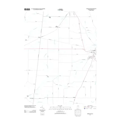
2013 Map of Versailles
USGS Topo · Published 2013About this map
The town of Versailles and its surrounding rural Ripley County landscape are defined by a complex drainage network that flows toward the Versailles State Park Dam. A series of small settlements, including Otter Village, Dabney, and Correct, are connected by a grid of county roads and the historic path of N Old Michigan Rd. The southern portion of the area features distinctive terrain and water features such as Hungry Hollow and Coon Hollow near the winding course of Graham Cr.
Find a feature on this map
64 named features on this map. Tap any name to fly to it.
Don’t see what you’re looking for? This feature index may not catch every label — zoom into the map to look around manually.
Map Details
Editions of this 2013 Versailles Map
This is the sole edition of this map. No revisions or reprints were ever made.
Other maps of this area

1946 · Versailles
USGS Topo · 1:24,000

1946 · Milan
USGS Topo · 1:24,000

1946 · Pierceville
USGS Topo · 1:24,000

1946 · Osgood
USGS Topo · 1:24,000

1953 · Cincinnati
USGS Topo · 1:250,000

1956 · Louisville
USGS Topo · 1:250,000

1957 · Cincinnati
USGS Topo · 1:250,000

1958 · Millhousen
USGS Topo · 1:24,000

1959 · Holton
USGS Topo · 1:24,000

1959 · San Jacinto
USGS Topo · 1:24,000