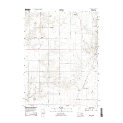
2016 Map of Versailles
USGS Topo · Published 2016About this map
Versailles serves as a primary hub in this portion of Ripley County, where the landscape is defined by the winding course of Graham Creek and its many tributaries. The area maintains a traditional rural structure, with small settlements like Otter Village, Holton, and Dabney connected by a dense network of county roads. Genealogists can locate several family and community burial sites, including Otter Village Cem and Bradshaw Cem, which dot the uplands between the creek valleys. Evidence of the region's transport history is visible in the corridor of W Railroad Rd and the path of the Old Michigan Rd. Along the eastern edge, the Versailles State Park Dam represents a significant modern water management feature, while local aviation is represented by Francis Airport near Holton.
Find a feature on this map
85 named features on this map. Tap any name to fly to it.
Don’t see what you’re looking for? This feature index may not catch every label — zoom into the map to look around manually.
Map Details
Editions of this 2016 Versailles Map
This is the sole edition of this map. No revisions or reprints were ever made.
Other maps of this area

1946 · Versailles
USGS Topo · 1:24,000

1946 · Milan
USGS Topo · 1:24,000

1946 · Pierceville
USGS Topo · 1:24,000

1946 · Osgood
USGS Topo · 1:24,000

1953 · Cincinnati
USGS Topo · 1:250,000

1956 · Louisville
USGS Topo · 1:250,000

1957 · Cincinnati
USGS Topo · 1:250,000

1958 · Millhousen
USGS Topo · 1:24,000

1959 · Holton
USGS Topo · 1:24,000

1959 · San Jacinto
USGS Topo · 1:24,000