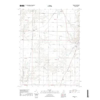
2019 Map of Versailles
USGS Topo · Published 2019About this map
Versailles serves as the seat of Ripley County, anchoring an agricultural landscape defined by the deep incisions of Graham Creek and its many tributaries. The area's settlement pattern follows a dense grid of county roads, punctuated by small communities like Osgood, Holton, and the curiously named Correct. Significant genealogical markers are scattered throughout the rural townships, including the Sheppard Cem near New Marion and the Bradshaw Cem on the eastern edge of the quadrangle.
Find a feature on this map
84 named features on this map. Tap any name to fly to it.
Don’t see what you’re looking for? This feature index may not catch every label — zoom into the map to look around manually.
Map Details
Editions of this 2019 Versailles Map
This is the sole edition of this map. No revisions or reprints were ever made.
Other maps of this area

1946 · Versailles
USGS Topo · 1:24,000

1946 · Milan
USGS Topo · 1:24,000

1946 · Pierceville
USGS Topo · 1:24,000

1946 · Osgood
USGS Topo · 1:24,000

1953 · Cincinnati
USGS Topo · 1:250,000

1956 · Louisville
USGS Topo · 1:250,000

1957 · Cincinnati
USGS Topo · 1:250,000

1958 · Millhousen
USGS Topo · 1:24,000

1959 · Holton
USGS Topo · 1:24,000

1959 · San Jacinto
USGS Topo · 1:24,000