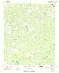
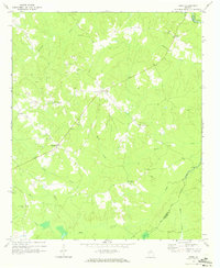
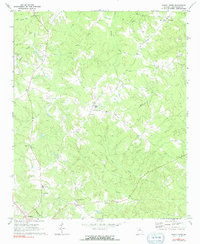
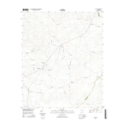
1971 Map of Vesta
USGS Topo · Published 1991About this map
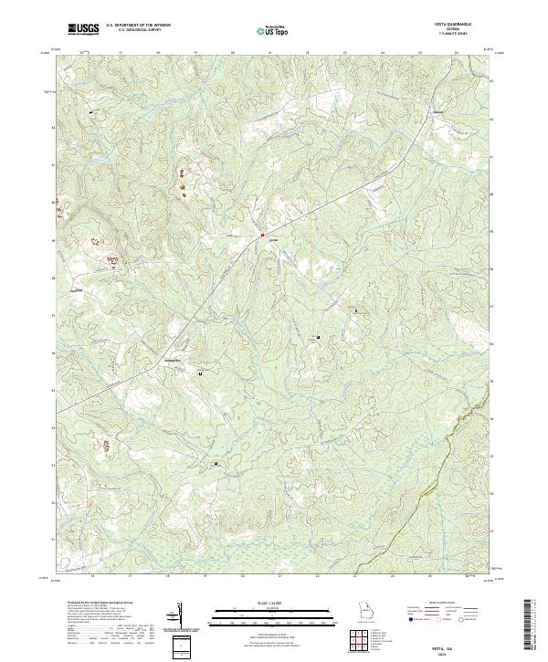
Quarrying operations dominate the landscape around Veribest and Enterprise in this 1970s view of northeastern Oglethorpe County. Numerous Quarries and scattered Quarry sites are concentrated west of the Little Macks Creek and Macks Creek drainages, indicating a local economy deeply tied to the extraction of the area's geological resources. The settlement pattern is characterized by small rural centers and a high density of country churches, including Watkins Grove Ch and Rocky Branch Ch, often situated near family-named landmarks.
Find a feature on this map
28 named features on this map. Tap any name to fly to it.
Don’t see what you’re looking for? This feature index may not catch every label — zoom into the map to look around manually.
Map Details
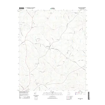
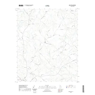
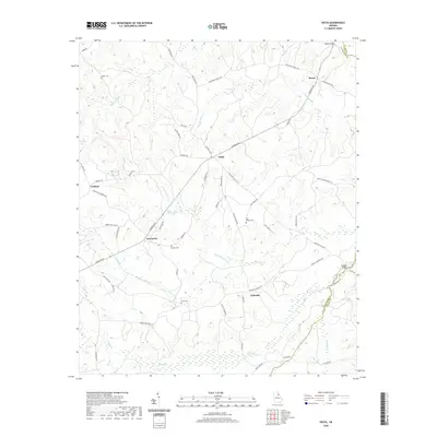
Editions of this 1971 Vesta Map
2 editions found
Historical Maps of Enterprise Through Time
12 maps found
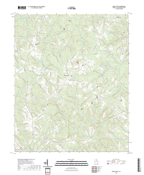
1971 Sandy Cross
Oglethorpe County, GA
1971 Vesta
Oglethorpe County, GA

2011 Sandy Cross
Oglethorpe County, GA

2011 Vesta
Oglethorpe County, GA
2014 Sandy Cross
Oglethorpe County, GA
2014 Vesta
Oglethorpe County, GA

2017 Sandy Cross
Oglethorpe County, GA

2017 Vesta
Oglethorpe County, GA
2020 Sandy Cross
Oglethorpe County, GA
2020 Vesta
Oglethorpe County, GA
2024 Sandy Cross
Oglethorpe County, GA
2024 Vesta
Oglethorpe County, GA