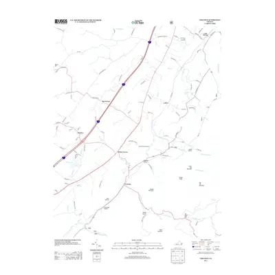
2013 Map of Vesuvius
USGS Topo · Published 2013About this map
Steeles Tavern and Vesuvius anchor the southern reaches of this corridor, where the valley floor transitions into the rising slopes of the Blue Ridge. The landscape is defined by the headwaters of the S River and the complex drainage of Moores Cr and Little Marys Cr, which carve through deep hollows like Dogwood Hollow and Stillhouse Hollow. Along the western edge, the settlement of Raphine sits near the intersection of old valley routes, while the northern stretch includes Spottswood and Lofton.
Find a feature on this map
96 named features on this map. Tap any name to fly to it.
Don’t see what you’re looking for? This feature index may not catch every label — zoom into the map to look around manually.
Map Details
Editions of this 2013 Vesuvius Map
This is the sole edition of this map. No revisions or reprints were ever made.
Other maps of this area

1894 · Staunton
USGS Topo · 1:125,000

1894 · Lexington
USGS Topo · 1:125,000

1932 · Lexington
USGS Topo · 1:48,000

1936 · Vesuvius
USGS Topo · 1:48,000

1937 · Lexington
USGS Topo · 1:62,500

1941 · Vesuvius
USGS Topo · 1:62,500

1943 · Craigsville
USGS Topo · 1:62,500

1944 · Staunton
USGS Topo · 1:62,500

1945 · Craigsville
USGS Topo · 1:62,500

1947 · Staunton
USGS Topo · 1:62,500