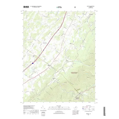
2019 Map of Vesuvius
USGS Topo · Published 2019About this map
The community of Vesuvius sits at the foot of the Blue Ridge where several hollows converge, including Rock Hollow, Stillhouse Hollow, and Turkey Hollow. This region of the Shenandoah Valley shows a transition from agricultural land in the west to the dense woodlands of the George Washington National Forest in the east. The landscape is defined by its water system, with the South River and S River winding northward, while the N Fork Tye River originates near the Tye River Gap.
Find a feature on this map
107 named features on this map. Tap any name to fly to it.
Don’t see what you’re looking for? This feature index may not catch every label — zoom into the map to look around manually.
Map Details
Editions of this 2019 Vesuvius Map
This is the sole edition of this map. No revisions or reprints were ever made.
Other maps of this area

1894 · Staunton
USGS Topo · 1:125,000

1894 · Lexington
USGS Topo · 1:125,000

1932 · Lexington
USGS Topo · 1:48,000

1936 · Vesuvius
USGS Topo · 1:48,000

1937 · Lexington
USGS Topo · 1:62,500

1941 · Vesuvius
USGS Topo · 1:62,500

1943 · Craigsville
USGS Topo · 1:62,500

1944 · Staunton
USGS Topo · 1:62,500

1945 · Craigsville
USGS Topo · 1:62,500

1947 · Staunton
USGS Topo · 1:62,500