2022 Map of Vevay North
USGS Topo · Published 2022About this map
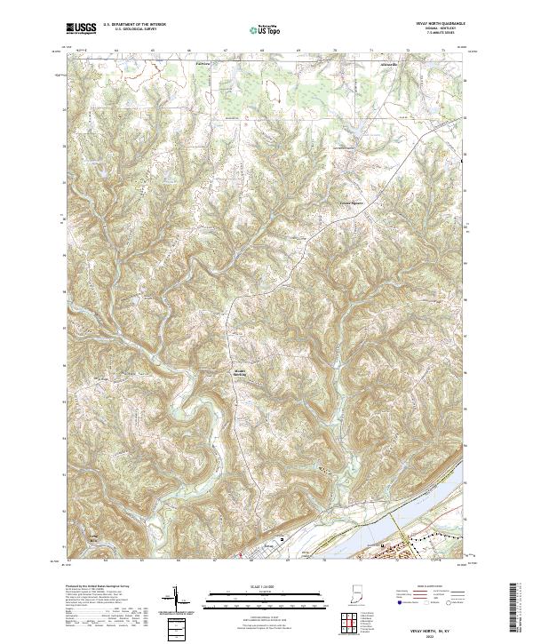
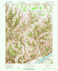
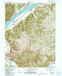
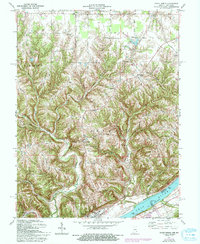
Vevay and the banks of the Ohio River anchor the southern edge of this Switzerland County landscape, where the terrain rises from the river flats into a series of prominent ridges. Settlement patterns follow these high points, with communities like Center Square, Mount Sterling, and Fairview situated along winding ridge-top roads such as Pleasant Ridge Rd. The map illustrates a complex drainage network where Indian Creek, Plum Cr, and Long Run carve deep valleys between Drakes Ridge and Popcorn Ridge. Near the river, Vevay Island sits across from the Kentucky border, marking the historic water boundary between Switzerland and Gallatin counties. Smaller water bodies like Lake Geneva and Edwin Pray Lake are scattered throughout the northern uplands, while the Vevay Cem and Blanton Cem provide essential data points for genealogical research in this part of Indiana.
Find a feature on this map
106 named features on this map. Tap any name to fly to it.
Don’t see what you’re looking for? This feature index may not catch every label — zoom into the map to look around manually.
Map Details
Editions of this 2022 Vevay North Map
This is the sole edition of this map. No revisions or reprints were ever made.
Historical Maps of Jacksonville Through Time
10 maps found
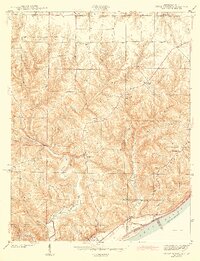
1943 Vevay North
Switzerland County, IN
1943 Vevay South
Switzerland County, IN
1956 Bennington
Switzerland County, IN
1957 Vevay North
Switzerland County, IN
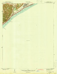
1967 Vevay South
Switzerland County, IN
1971 Bennington
Switzerland County, IN
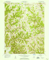
1971 Vevay North
Switzerland County, IN
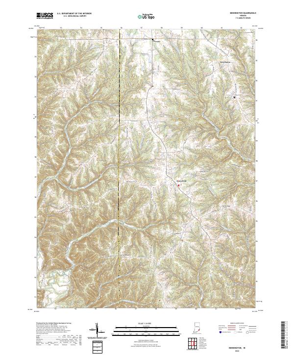
2022 Bennington
Switzerland County, IN
2022 Vevay North
Switzerland County, IN
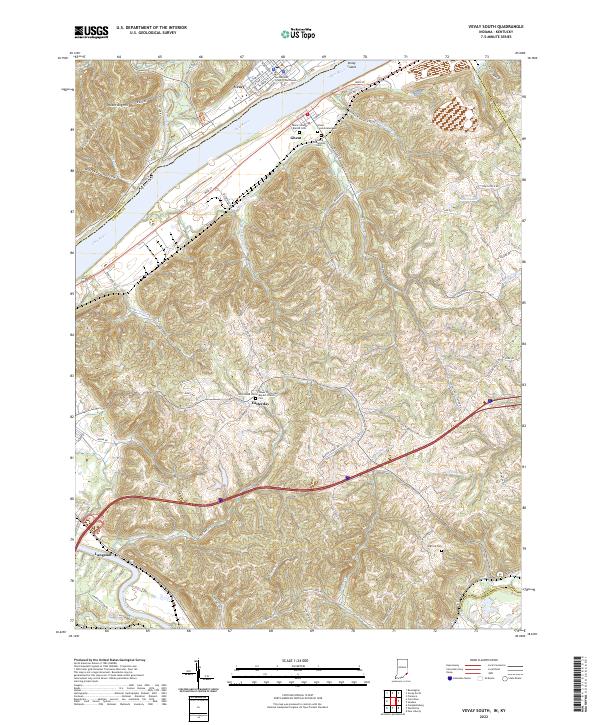
2022 Vevay South
Switzerland County, IN